T4America Blog

News, press releases and other updates

A proposed bridge is haunting the Bay Area

The Southern Crossing over the San Francisco Bay, proposed repeatedly over the past 77 years, has been rejected over and over again. Even as Reconnecting Communities funds will help Oakland study repairing the damage resulting from the interstate spur rammed through the heart of Oakland to serve as the eastern approach for this never-built bridge, the Southern Crossing shows how past choices continue to haunt the present—and future.

A sunny hill filled with cheerful homes framed by a palm tree and blue sky
The beautiful hillsides of the Bayview residential neighborhood in San Francisco. Image Source: Bayview Hunters Point Community Advocates

History of the Southern Crossing

The Southern Crossing is an additional Bay bridge highway crossing that has been proposed over a dozen times since the plan was developed (in 1946) by various departments of California’s state government. The proposed bridge would be the fourth bridge to cross the San Francisco Bay, partner to the built “northern crossing” pictured above in yellow. As shown above, the “southern crossing” would originate from the east side near Bay Farm Island (fed by a new interstate, I-980), cross to the west side, and land on the San Francisco peninsula in the Bayview neighborhood, at Hunters Point. The vision was to provide East Bay motorists on I-580 and Highway 24 with a direct connection to I-280.

Historical map of proposed Bay bridges. Description in first paragraph under "History of the Southern Crossing"
Map of proposed Southern Crossing Highway Bridge: Source: Wikimedia Commons

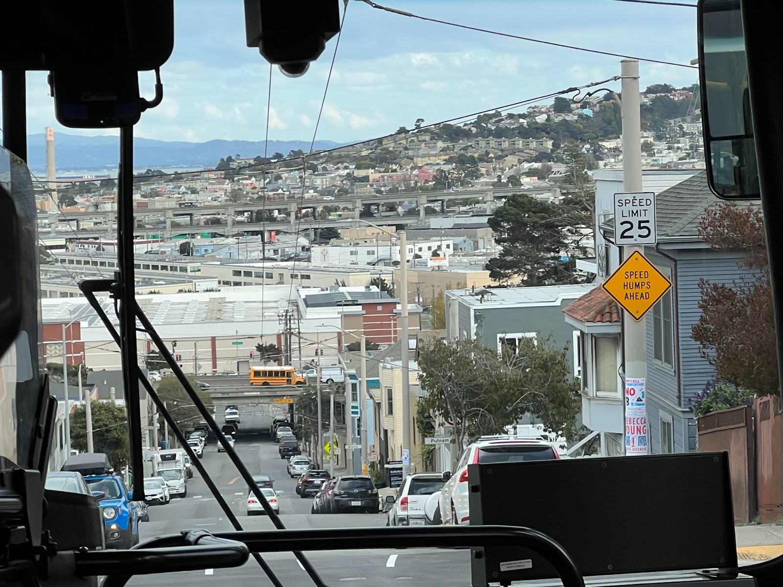
In 1961, the Southern Crossing bridge came close to construction, but white environmental activists concerned about the environmental degradation of the Bay prevented the project from moving forward. Even though the bridge was dead (for now), construction of I-980 moved ahead in the heart of Oakland, starting over two decades of work that would ultimately divide Black residents in West Oakland from downtown and demolish over 500 homes and nearly two dozen businesses and churches

Simple map with I-980 in red slicing between West Oakland and downtown Oakland
I-980 separates West Oakland residents from downtown. Image by OpenStreetMap.

In 1971, a bill for the construction of the Southern Crossing was passed in the California State Assembly by both houses but vetoed by then-Governor Ronald Reagan, who believed that the citizens of the Bay Area should weigh in on the decision to construct such an expensive and controversial infrastructure project. Voters rejected a bond measure in 1972 that would have paid for the construction of the bridge via a toll increase on existing bridge infrastructure by a three-to-one margin. Without the bridge, the finally completed, roughly two-mile stretch of I-980 ended abruptly at 18th Street, and in the decades that followed, the underused strip became little more than a redundant eyesore.

Every iteration of the Southern Crossing proposed across nearly eight decades has failed due to costs, environmental concerns, or interference with air flight operations from the nearby but now-decommissioned Naval Air Stations of Treasure Island and Alameda. But notably, never because of the desires of the low-income, historically Black and brown communities on either side of the Bay, as they have always been excluded from the project’s discussion and decision-making process.

State departments of transportation in the U.S. have a documented history of systematically targeting low-income communities of color, wiping them out with highway infrastructure construction. These development patterns have been repeated since the 1950s under the guise of urban renewal.  I-280 and U.S. Route 101 already surround the historically Black neighborhoods of Hunters Point and Bayview on the San Francisco side of the Bay, subjecting them to air pollution and water runoff and cutting them off from the rest of San Francisco. 

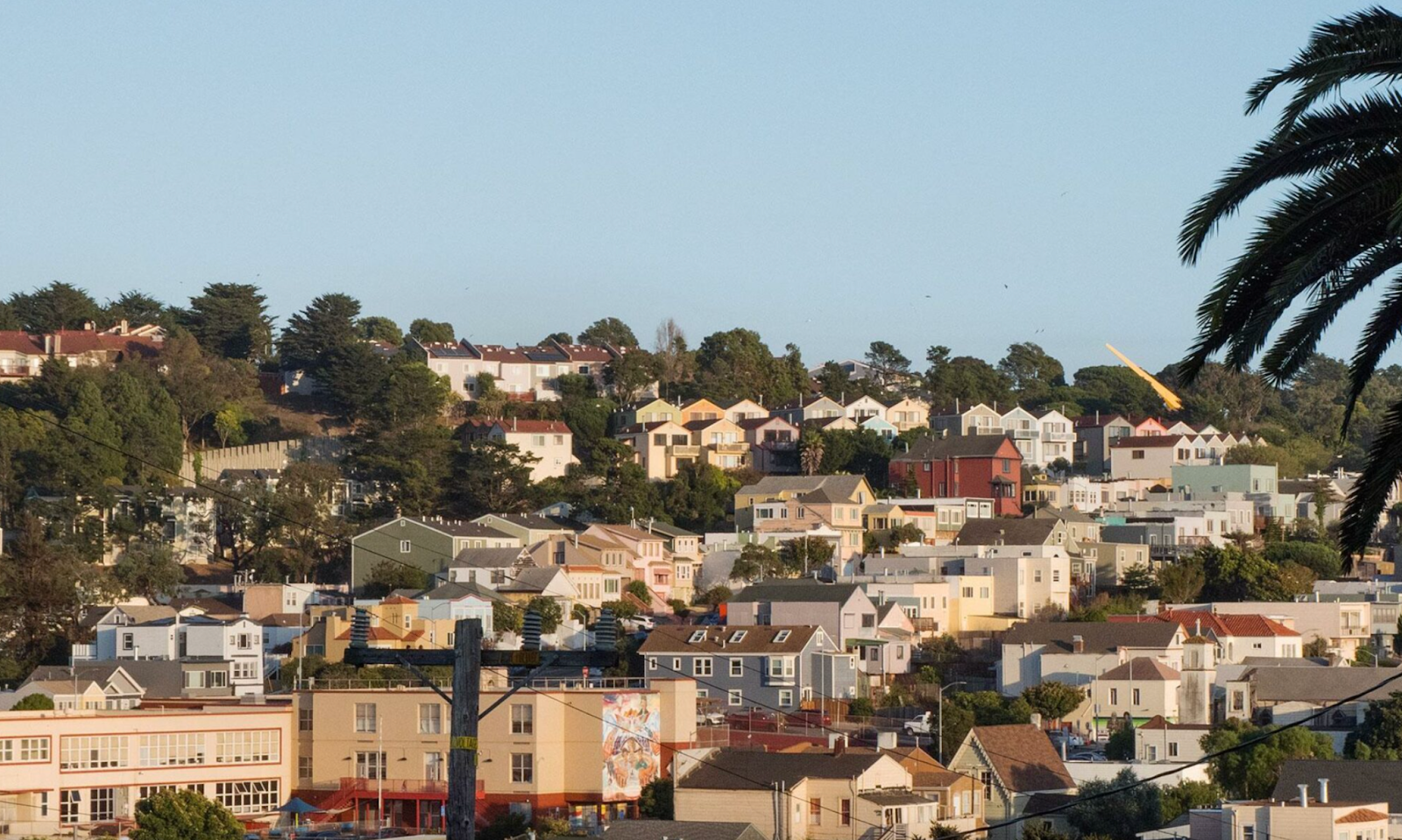
Hunters Point and Bayview collectively have 110,200 residents within approximately nine square miles—a population density of 12,762 people per square mile. The median home was built in 1966 and is valued at $690K. The construction of the Southern Crossing bridge could destroy hundreds of those homes and local businesses, a disproportionate number of which belong to low-income residents of color.

A path forward

Picture taken through a bus front window of a street lined with vehicles leading to the hills of Bayview and Hunters Point
Highway 101 and Interstate 280 separate Hunters Point and Bayview from much of San Francisco. T4A photo by Benito Pérez.

The San Francisco Bay has five highway bridges and an underwater tube carrying BART trains in each direction in separate tunnels. Billions of dollars have been spent to build this infrastructure, along with miles and miles of other interstates, highway connections, and arterial roadways. Even so, a 2017 Metropolitan Transit Commission (MTC) study found that Bay Area traffic congestion has only increased, going up by 80 percent from 2010-2017. Leaders continue to turn to new vehicle lanes to solve the congestion problem. Though the Southern Crossing proposal has never garnered the political support needed to proceed, since its inception in 1946, it’s been raised again and again to “solve” San Francisco’s traffic.

In 2017, Senator Dianne Feinstein (D-CA) revived the Southern Crossing proposal. The resulting 2019 joint study between the MTC and the Association of Bay Area Governments considered seven different scenarios to relieve traffic congestion based on growth projections by 2050. Only three of the options involved new bridges for vehicle travel, while six of the seven options were scenarios that involved transit solutions. The study found that the most cost-effective options were transit-only solutions, recommending these over the Southern Crossing highway bridge. 

Still, nearly eight decades later, no full, final decision has been made on the Southern Crossing bridge, which keeps the specter of a massive, destructive project hanging over both the region and specific neighborhoods.

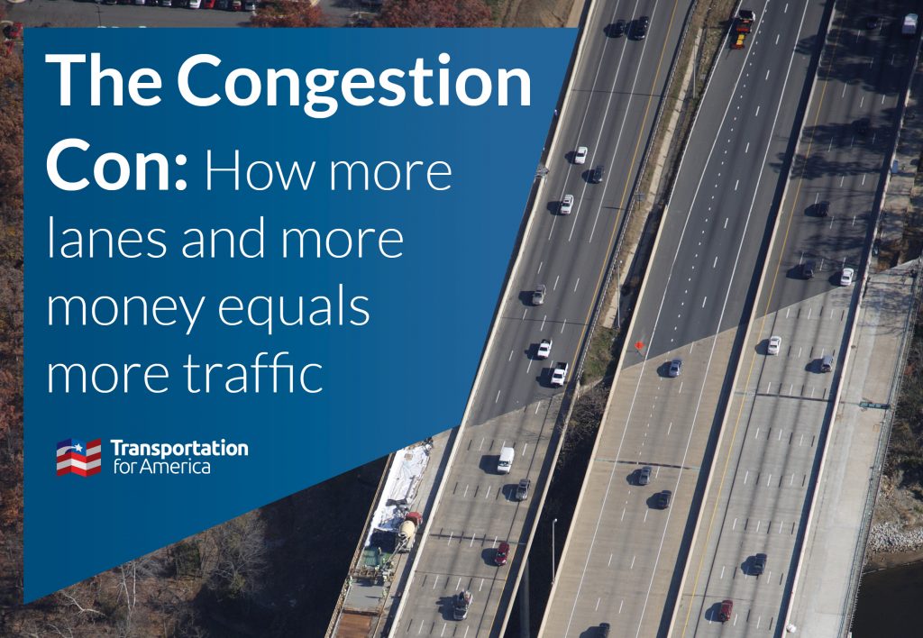
Induced demand is the phenomenon where an increase in supply results in a decline in price and an increase in consumption. To frame this within the context of highway construction, adding more lanes to a roadway creates more space for vehicle travel, attracting more cars, and ultimately exacerbating traffic congestion. Learn more in our report The Congestion Con, and use the SHIFT calculator to find out how much more driving new lanes can produce.

In Oakland, residents like the advocates at ConnectOakland have pushed for years for a project to reconnect low-income communities of color divided by I-980,  which was intended primarily as a connection for the Southern Crossing. The Reconnecting Communities Program recently granted the city and Caltrans (California’s department of transportation) $680,000 to study possible projects to tackle the divisive and underused highway, including the possibility of removal, though that’s not necessarily the stated purpose of the project at this point. Clearly, once built, highways are difficult and expensive to remove—even when built to connect to a bridge that has ultimately never been built. But this study, funded by the first-ever federal program of its kind, is an important step towards repairing the damage wrought by I-980 and closing the longstanding divide.

Aerial view of I-980 with arrows showing possible connections across the entire route. Get a full description of the plan at the link in the caption below.
Proposed plan to reconnect West Oakland, from ConnectOakland.

Even as I-980 gets a chance at a new fate, as long as the Southern Crossing bridge refuses to die, it could threaten the best efforts to reconnect Oakland. Even as all facts point to the contrary, some are likely to say that this underutilized highway is still needed to feed an unbuilt bridge. To get the most out of the Reconnecting Communities dollars they’ve received, decision makers will need to stand firm in what has already been proven time and again—it’s time to put the Southern Crossing to bed.

Lessons for Community Connectors

Even when it’s over…it’s not always over. It can feel like a victory when a divisive infrastructure project is halted, but proposed projects like the Southern Crossing won’t always go away after being stopped once. Once these lines get drawn on official maps and planning documents, these projects are never truly dead—they’re just waiting for a different leader (or the availability of new funding, as with the infrastructure law) to bring them back to life. It’s hard to stop a proposed infrastructure project, but it’s even harder to stop one permanently.

Black man in hoodie walks down a long crosswalk in a wide open street, hemmed by the elevated I-980
Pedestrians navigate intersections surrounding I-980, elevated to the left, and the nearby arterial Martin Luther King Jr Way. Image from Google Maps street view.

The mere suggestion of divisive infrastructure can lead to harm. I-980 would likely have never been built without the proposal for the additional Bay bridge, Southern Crossing. This is one example of how divisive infrastructure can harm a community even before it’s built, or if it’s never built at all (here’s another example from Shreveport). Notably, the Hunters Point and Bayview neighborhoods on the San Francisco side of the Bay have survived decades of Southern Crossing proposals and still managed to attract investment such as the T-Third light rail line and the Indian Basin Waterfront Park, but original residents haven’t been properly protected and many were ultimately displaced by rising property values as demand for the area grew.

Include the voices of the community being impacted. As decision-makers weigh the options to reconnect communities divided by I-980 in Oakland, they should learn from their recent and past mistakes. Whether West Oakland or the Bayview and Hunters Point neighborhoods were destroyed or allowed to flourish, the residents of color that called these communities home were never included in the decision-making process. Any reconnection projects should include the voices and perspectives of Black and brown residents and ensure that these residents are able to benefit from the changes that are made.

Community Connectors: tools for advocates

You may be fighting against a freeway expansion. You may be trying to advance a Reconnecting Communities project to remove an old highway. You might be just trying to make wide, dangerous arterial roads a little safer for people to cross. This Community Connectors portal explains common terms, decodes the processes, clarifies the important actors, and inspires with helpful real-world stories.

30 Comments

  1. JustJake

    1 year ago

    This article is revisionist and selective. 980 was built under a black mayor, and with huge input from the existing black community, and with involvement of the Black Panthers. A primary purpose was to relieve Bay Bridge traffic area from those going south to San Jose. on 880. “Connect Oakland” is a developer group, who have their own agenda. 980 is an example of ‘induced demand’ theory that isn’t. It remains effective, not congested and appreciated for not putting through traffic onto Oakland city streets.

    • David

      1 year ago

      You are exactly right. 980 is not underutilized. I use it all the time. It facilitates access to oakland airport and is an important north-south connector. And the racial aspect of this is out of line. For example, Highway 24 was cut through very upscale white areas of Rockridge and North Oakland and nobody seems to be complaining about that

  2. Hadlock

    1 year ago

    The last time pelosi suggested this bridge be built (2020?) pretty much the whole bay area shouted her down. What SF needs is new public transit crossings, not car crossings. Add a new underwater tube for HSR, Caltrain and BART. There’s no room on the peninsula for even more cars. Not sure who paid for this article to be written but wasn’t a transit advocate group

    • Jef Poskanzer

      1 year ago

      i think it was Feinstein, but yeah.

      • Sane Instead

        1 year ago

        Both are possible and both are overdue. There even have been studies about doing it, though it’s by that MTC that also has its own agenda and isn’t the best authority, just the one that’s most centrally involved. The studies are far from the best and don’t really represent normal people’s views on needing highway crossings in one or two places plus BART or conventional rail (part of those MTC studies along with roads, by the way). Opposition to highways is greatly overdone and given far too much weight now, maybe to build big, very expensive transit facilities instead, hmmm.

  3. Pat Moore

    1 year ago

    Why on earth would you disrupt those poor folks when you already have a crossing point by the airport already done and in place.
    Why we have to hash out something again 30 years later when the 380 extension is in a commercial area without disruptions.

    • Russell Reagan

      1 year ago

      A bridge connecting to I-380 is too far south to go west from Alameda or I-980. It would cross from San Leandro, as you can see on this map showing a few different proposed crossings
      https://drive.google.com/file/d/1c0d0MrS3V7-SUqEuXJQMZz2COy9-GOQ5/view?usp=share_link
      This is the widest part of the Bay south of SF. There are neighborhoods in San Leandro which would be bisected by this freeway connecting from 238. It would go right past Washington Manor Middle School.

      • Sane Instead

        1 year ago

        380 and 980 doesn’t make sense. 280 and 980 makes sense. We don’t know what 280’s future is in San Francisco, though.

        The route for the 238-380 bridge should use the Newelling route (through the shopping center, new interchange), not Estudillo Creek, Manor Avenue or San Lorenzo Creek, which have more impacts.

      • Sane Instead

        1 year ago

        Russell,

        Look at the Lewelling Boulevard route. (I’ve come back to correct a typo that I couldn’t revisit and correct, earlier.) Lewelling is an arterial that is a thicker line on the map you provided, south of the shopping center where 238 ends at 880, running out toward the Bay. This is well away from the Manor Avenue collector street and the area where the school is. What is needed is for 238 to go diagonally across the area that’s developed now, then run along the Lewelling right-of-way. That by far is the “lowest impact” way to get to the Bay Shore (near Roberts Landing). Along the Lewelling route it could be on a viaduct to keep the road available under it, in addition to affecting as few homes and parcels as possible.

        Both 238 and 380 have their access routes evident already.

  4. David

    1 year ago

    Build the bridge already

  5. Richard Bain

    1 year ago

    Build it!

  6. Sebra Leaves

    1 year ago

    More money for nothing.

  7. Sandra Wilson

    1 year ago

    I disagree with this plan. I grew up in Bayview. I have family and friends who own home’s in the area. The low income housing do not need to be disrupted. Find another idea and area like South City or by airport to create bridge idea.

    • Sane Instead

      1 year ago

      Hunters Point and Candlestick Point are too good and obvious to ignore or reject from the start, but yes, there are alternate locations on the Peninsula-SF side of the Bay.

      To the north, with a bridge farther north, Alameda or at Bay Farm Island’s best crossing point, there is the Cesar Chavez route at Pier 80. This also is a good 280-980 connecting route that can also include 101. (No good for rail to the north, as it misses downtown San Francisco)

      To the south there is 238-380 and on the Peninsula side, Sierra Point for a Peninsula landing site, though 380 is better. (Connects highway system, is by SFO airport)

      Sierra Point Parkway is less than 1/4 mile long and ends only 300+ feet from the shore. Put it on a viaduct (inclined for the high portion on the Peninsula end of the crossing); the marina portion and parkway businesses are spared.

      These are good for rail, depending on ability to negotiate gradients, or BART in addition to the needed highway crossing(s).

  8. JimboRock

    1 year ago

    If you build it put BART tracks down the middle.

  9. JimboRock

    1 year ago

    If it’s built put BART tracks down the middle of the bridge.

    • Louis Tinsley

      1 year ago

      I believe that having another bridge is vital to the Bay area infrastructure. Good paying union jobs and a uptick of small businesses on each side of the proposed bridge. Balancing the environmental impact with the increase of population is extremely important, not to mention continued growth all around the Bay Area region. Projects like the southern crossing are needed. I’ve always have supported this project. We can’t live in the pass, so it’s important to get this project started.

  10. Jon Ladow

    1 year ago

    Why does San Francisco – Oakland have to be the only connection via bridge?
    We’re out of room, any expansion of vehicles connecting the two is backward.
    Public Transit should only be discussed connecting the two.

    • Sane Instead

      1 year ago

      Or next to the bridge, or on its own slightly different route

  11. R wood

    1 year ago

    Sad . More lanes don’t add traffic . They fill because we have more people and more cars . This shows more freeways R needed . In the 1950 s roads were built for traffic and safety . New Woke thinking doesn’t address any thing but unsafe and hazardess conditions like commuter lanes creating danger by incompatible speeds next to each other . Commute lanes speeding , normal lanes at a stand still . Unsafe having differing speeds next to each other. These roads R designed because we now they are needed for our growing economy and safety

  12. R wod

    1 year ago

    This is a communist attack on the American Way of life freedom of travel and public safety. Like General Patton’s gas cutoff in world war two, only 2-7% of our population rides public transport. Roads and safe vehicles to carry our Children and groceries R mainstays of our enviable peace and prosperity

  13. MLA Cartwright

    1 year ago

    The first problem is population growth. There needs to be a unified Bay Area plan.
    Second problem there needs to be a single public transportation service. There are too many self interest transportation monopolies. Until there is a single entity and a complete annular service there will be no solution to crowded highways and over filled BART cars constantly late and noisy over stressed and under serviced equipment. Until these topics are addressed and resolved there will be thousands of person hours of work lost, thousands of hours of delays, thousands of gallons of fuel lost per day. This is not about low income neighborhoods suffering by living next to transportation corridors. Consider this could be a facility to be able to travel to jobs otherwise unreachable by local transportation. Low income neighborhoods have low income jobs. Mobility can be a key.

  14. Sane Instead

    1 year ago

    The freeway crossing between Interstate 380 and “238” has been overdue since the moment 380 was built. It became an overdue Interstate since Interstate 380 was built and state route 238 became Interstate 238. A new Bay crossing has been generations overdue, desirable even before World War II and knowledge the existing Bay Bridge would be insufficient, and this crossing route is by far the most useful, even if so long. It not only fills a gap across the Bay but also connects the freeway system and completes the freeway coverage of the east-west travel route connecting the Bay Area and the Central Valley (and beyond). Another crossing also is of value, to the north, south Bay Farm Island (OAK airport) to Alameda Point, where it’s more densely populated and there also is not crossing coverage now.

    Conventional (and electrified) rail can be added to highways, also BART, on either of these crossings, either in the median or beside the highway bridge. A ped-bike trail is a luxury at 14-15 miles but also would be fun, or add an access road for car crash assistance, towing vehicles off the bridge, whatever, plus helping with any rail or BART problem.

  15. D J Matt

    1 year ago

    The Bay area Cities can’t get beyond a horse and buggy mentality. Instead of spending nearly a billion dollars on improving Van Ness,they could have connected 101 to the GG Bridge and done away with thru traffic having to stop every block on both 19th and Van Ness.

    Face the facts SF Board of Sups. Not everyone has the City as a destination and no amount of traffic signals will change that.

    Of course a Southern crossing is necessary and the obvious fact is that forcing thru traffic to use city streets is contributing to the urban degradation.

    (Retired Highway Engineer)

    • Sane Instead

      1 year ago

      Yep, 101 to the Golden Gate Bridge is overdue.

      This article begins very poorly, not just wrongly.

      “The San Francisco Bay has five highway bridges and an underwater tube carrying BART trains in each direction in separate tunnels.”

      Misuse of the word “The” in the name is the least of it.

      San Francisco Bay has THREE (3) highway bridges, namely the Bay Bridge, the San Mateo Bridge, and the Dumbarton Bridge, crossing it.

      The gap along San Francisco Bay, what matters with transportation, between the Bay Bridge and the San Mateo Bridge is more than 15 MILES. That’s a gap including much of the most densely settled part of the Bay Area and also dense during daytime when commuters are in the area. This is why a bridge between Bay Farm Island and Alameda plus the 238-380 bridge both are justified now. And don’t activists want the inner Bay Area to get denser? Most new residents also will have cars and need to drive. Again, rail could be added to bridges, depending on the type (to handle the gradients at the high sections) plus there’s interest already for a S.F. rail tunnel under the Bay.

      Opponents of bridges (as with some highways and highway improvements) are opposing good transportation.

  16. Nathaneal

    1 year ago

    Northern California needs new freeways asap. The north bay needs a freeway to connect 101 with 80. They need a freeway connecting 580 with 680 on the south side of Livermore so you can bypass Dublin/Pleasington. They need to continue Highway 4 freeway from Antioch to the Stockton Crosstown Freeway so valley residents have an alternative from the 580. Sacramento needs a bypass freeway from 99 in Elk Grove to 50 in Folsom then crossing over to 80 so drivers can bypass downtown Sacramento. 132 from 99 to 580 should be a freeway already so Modesto residents have their own access to the Bay area than going up north to 120 and 205. Yes they need a new bridge in South San Francisco. All these projects would greatly reduce congestion and travel time no doubt about it! Should have been done long time ago!

  17. Paul Antonio

    1 year ago

    Did Pete Buttigieg write this article?

    • Sane Instead

      1 year ago

      Or younger kids — maybe his staff, far away from California

      Or kids at the Transportation [sic] for America organization

  18. Kirk

    1 year ago

    Wouldn’t it be better to finish the BART system all the way around back to SF from SJ first?
    I agree that we need more throughput over the bay between SF and East Bay, but this seems to be a lose-lose scenario. The land portions at each end of the bridge would suffer the plight and degradation that we always see at the ends of bridges where they touch the mainland.

  19. Nowayoutbutup

    1 year ago

    Overpopulation, exorbitant prices and rent, an ever-increasing crime rate, poverty and ultimately collapse is the product of high density living. If we’re honest about our worldview and examine things honestly the results of our past and current practices are evident . And what do we do as humans ? We build more and thus assure our pathway to that collapse .