Transportation is changing, but curbs are not: Lessons from the first Smart Cities Collaborative 2020 meeting
The third year of the Smart Cities Collaborative is off to a strong start. Last week, Transportation for America brought together the three pilot cities in the Collaborative to work through devising and designing strong curbside management pilots.
In 2018—when the last Smart Cities Collaborative wrapped up—electric scooter-sharing was brand new. Now, scooters, bikeshare, rideshare, and other mobility trends have gained stronger footholds in cities, becoming important features of the transportation ecosystem.
But while these new technologies are changing transportation, one thing has stayed the same: the way we use curbs.
Curbs are magical places where land use and transportation collide, often times making them cities’ most valuable assets. Which is why the 2020 Collaborative—which kicked off last week in Boston—is focused on developing better curbside management strategies through pilot projects.
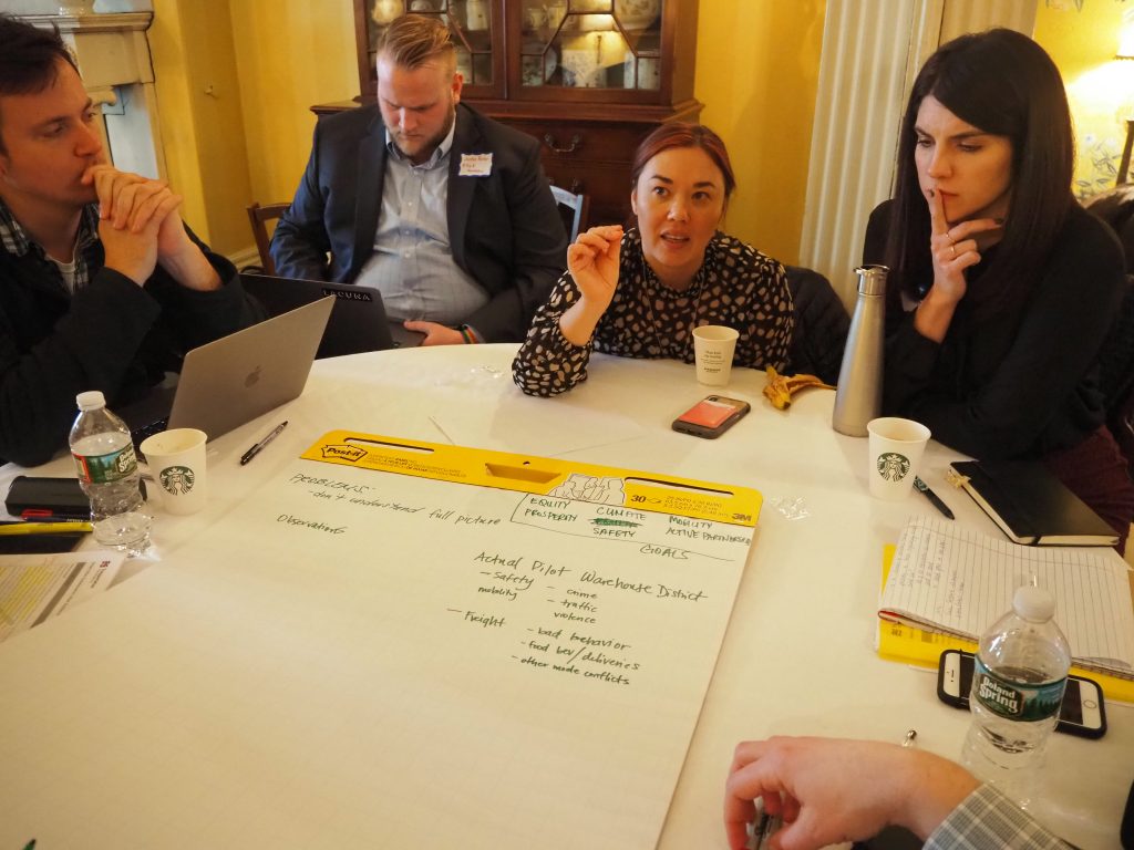
Three of the 17 cities participating in the 2020 Collaborative—Bellevue, WA; Boston, MA; and Minneapolis, MN—will launch curbside management pilots later this year. These cities’ teams met with us in Boston to brainstorm how they can make their pilots successful and scale what they learn across their cities.
The current state of the curb
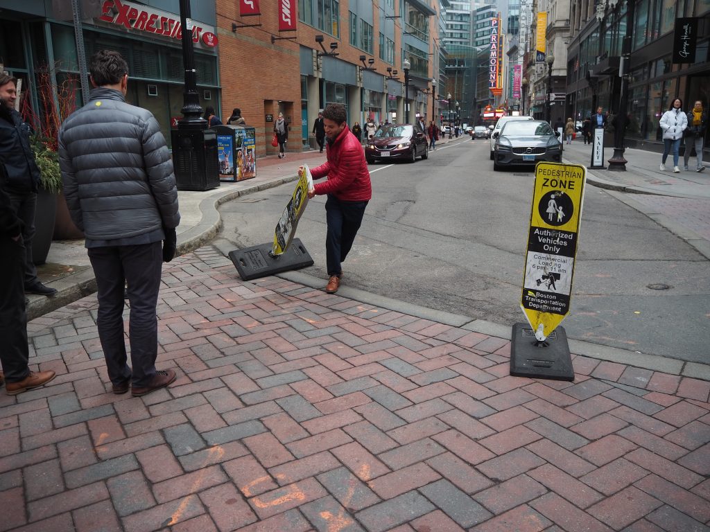
Managing curb space can be a work-in-progress. A city official puts “pedestrian zone” signs that had been moved back in their rightful places.
Curbs are more valuable now than ever before, according to Cityfi’s Camron Bridgeford. T4America teamed up with Cityfi to create the curriculum for the Collaborative—which inevitably began with what makes curbs so special in the first place.
It comes down to simple economics: The fixed supply of curb space and the number of competing demands increases curbs’ value. For example, curbs are key to the movement of goods and people, as well as used for transit, storage, short-term parking, construction, streetscaping (like street trees), tactical urbanism, and snow removal, but there are only so many curbs. With the recent (and growing) number of new mobility technologies, it is a critical moment for cities to better leverage their curbs to advance the public good.
For cities considering curbside management pilots, Camron recommends considering the following factors: pricing, design and way-finding, demand and access, operations and enforcement, partnerships, data, and performance measures.
The importance of outreach
In many places, demands on curb space are increasing faster than public perception of what curbs are and what they could be. This poses a huge hurdle for cities considering changing their curbside management policies: explaining what they’re doing to people accustomed to traditional uses of curb space, such as on-street parking.
Communicating the importance of rethinking streetscapes that haven’t changed in decades calls for more than just one public meeting. Cities need to show people what different uses of curb spaces look like, and for that they need creative communication strategies.
The Collaborative came up with a few communication ideas, such as prioritizing stories over data (what’s more compelling: statistics or a tale of someone who could now get to work safely because of a protected bike lane?) and using pilots themselves as an outreach tool—because what’s a better way to explain what you want to achieve city-wide than showing people how it works on one block?
Outreach is critical to successful pilot projects and policy implementation. If the public isn’t on board, your project will never leave the station.
Data with a purpose
The advent of new mobility technologies is a huge opportunity for cities to learn more about how people get around by all modes of travel. But data is useless if cities don’t determine what they want to achieve with it.
T4America’s director Beth Osborne took Bellevue, Boston, and Minneapolis on a rhetorical journey to determine why they want to collect mobility data in the first place. That journey started with identifying a problem.
For example: many cities experience traffic back-ups that occur when a delivery vehicle double-parks. Most people take for granted that back-ups are bad, but Beth asked our three cities: why are these back-ups a problem?
The cities answered: back-ups are bad because they increase vehicle and bus travel times and make streets unsafe for people walking and biking, as drivers double-parking or stuck in traffic might behave in unpredictable ways. That led the cities to their problem statement: We need to reduce incidences of double-parking in order to improve safety and travel times.
By always asking “why,” cities can make sure that the data they collect aligns with their goals.
What’s next for the Collaborative?
Between now and May, Bellevue, Boston, and Minneapolis will work on launching their curbside management pilots. This spring, we’ll gather with them and the 14 “peer” cities in the Collaborative in Bellevue to learn more about strategies for leveraging curb space.


