


Walkscore innovators turn to improving public transportation
![]() Front Seat, the civic software company responsible for the massively popular Walkscore service, launched a new project today aimed at encouraging public transportation ridership. The project makes transit agency schedule data available, accessible, and open to developers so they can create applications to make it easier to ride. CityGoRound.org is a new portal where you can find the many applications developers have created to ease and increase the convenience of riding transit. Their mission, outlined on a newly launched site today, is very simple:
Front Seat, the civic software company responsible for the massively popular Walkscore service, launched a new project today aimed at encouraging public transportation ridership. The project makes transit agency schedule data available, accessible, and open to developers so they can create applications to make it easier to ride. CityGoRound.org is a new portal where you can find the many applications developers have created to ease and increase the convenience of riding transit. Their mission, outlined on a newly launched site today, is very simple:
Our mission is to help make public transit more convenient. For example, an app that lets you know when your bus will arrive is way better than standing outside waiting for 20 minutes. If we can make public transit more convenient, more people will ride public transit. More people riding public transit equals less driving. Less driving equals a healthier planet.
To accomplish that, they’re doing three things: cataloging the hundreds of smartphone/web applications people have created to make riding public transit easier, putting pressure on agencies across the country that have not released their public data, and raising awareness of the need for government agencies to open up their data.
By typing in your zip code at CityGoRound.org, you may find, for example, apps that have taken publicly available transit agency schedule data and turned it into a slick iPhone or web app you can check on the go to find out when that next bus is coming, or when the next train will be headed your direction. One major barrier to riding transit is the learning curve that comes with unfamiliar schedules or service. If you’ve never ridden the bus home from work, are you going to wait in the snow at 8 p.m. for your first try, hoping you understood the posted timetable correctly?
The openness of government data might sound like something that only techies need to worry about, but more openness in government both increases accountability to the people and makes services more available and convenient for the public. Just this week, President Obama announced a new comprehensive open government plan, establishing parameters for all federal agencies to open up their operations — and their taxpayer-funded data — to the public.
“We are calling on transit agencies nationwide to open their data and follow the lead of the Open Government Directive issued this week by the White House,” said Mike Mathieu, Founder and Chairman of Front Seat. “City-Go-Round’s transit apps are a concrete example of how open data can improve citizens’ lives on a daily basis.”
Go check out the site today. If your city’s agency doesn’t provide open data for public transportation, they have a petition there you can sign to find out how to get involved in making that happen.
Front Seat created the service with the Transit Developers Group, generously supported with a grant from the Rockefeller Foundation.
Our three principles
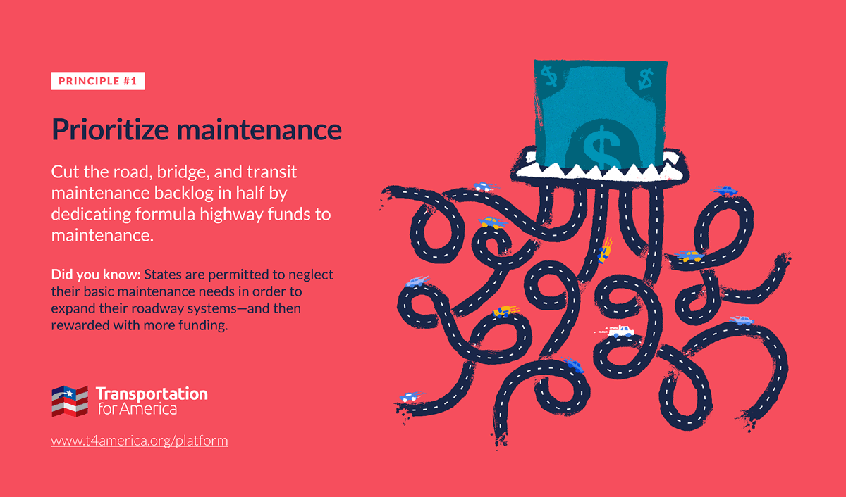
It’s past time to elevate the national conversation about infrastructure beyond just the price tag.
Learn more about our platformLatest From The Blog


There’s a climate cost to America’s freeways, and…
Apr 23rd, 2024


Progress for passenger rail in the South and…
Apr 10th, 2024

I cannot find the zoom link, I registered…
Jan 6th, 2024

A rare look behind the curtain of Transportation…
Jul 28th, 2023

In what Harrison Ford said was his most…
Jul 25th, 2023

Good example, walking to the local taco place…
Jul 24th, 2023

Pingback: Twitted by urbandata