Posts Tagged "maps"
National report and interactive map shows the state of our nation’s bridges
 69,223 bridges, more than 11 percent of all U.S. highway bridges, are rated “structurally deficient,” requiring significant maintenance, rehabilitation or replacement, according to a T4 America report released today, The Fix We’re In: The State of Our Nation’s Bridges. 69,000 bridges sounds like a lot, but what does that really mean? Where are these bridges? A new interactive map from T4 America makes it much easier to answer those questions.
Reconsidering how we measure housing affordability by including transportation costs
Americans have spent the last several decades moving farther and farther away from urban centers, in search of affordability. Rapidly growing communities ranging from the sunbelt cul-de-sacs of greater Phoenix to the exurban fringes of Northern Virginia have sold people on a lower cost of living. The decades of “drive-til-you-qualify” resulted in millions moving out for supposedly cheaper housing. But was it actually more affordable? A new tool from CNT reexamines housing affordability.
Update to the Transit Cuts map; 51 systems covered
We knew when we put it together that our list of transit agencies facing fiscal crises was not going to be exhaustive. And as soon as it went live, we heard from a number of you with information on other systems that we either didn’t know about or couldn’t find information on. So thanks to Hugh, Richard, Jef, Randy, and Jeff, we now have 51 systems covered in the map, representing almost 21 million daily trips by everyday Americans.
Our three principles
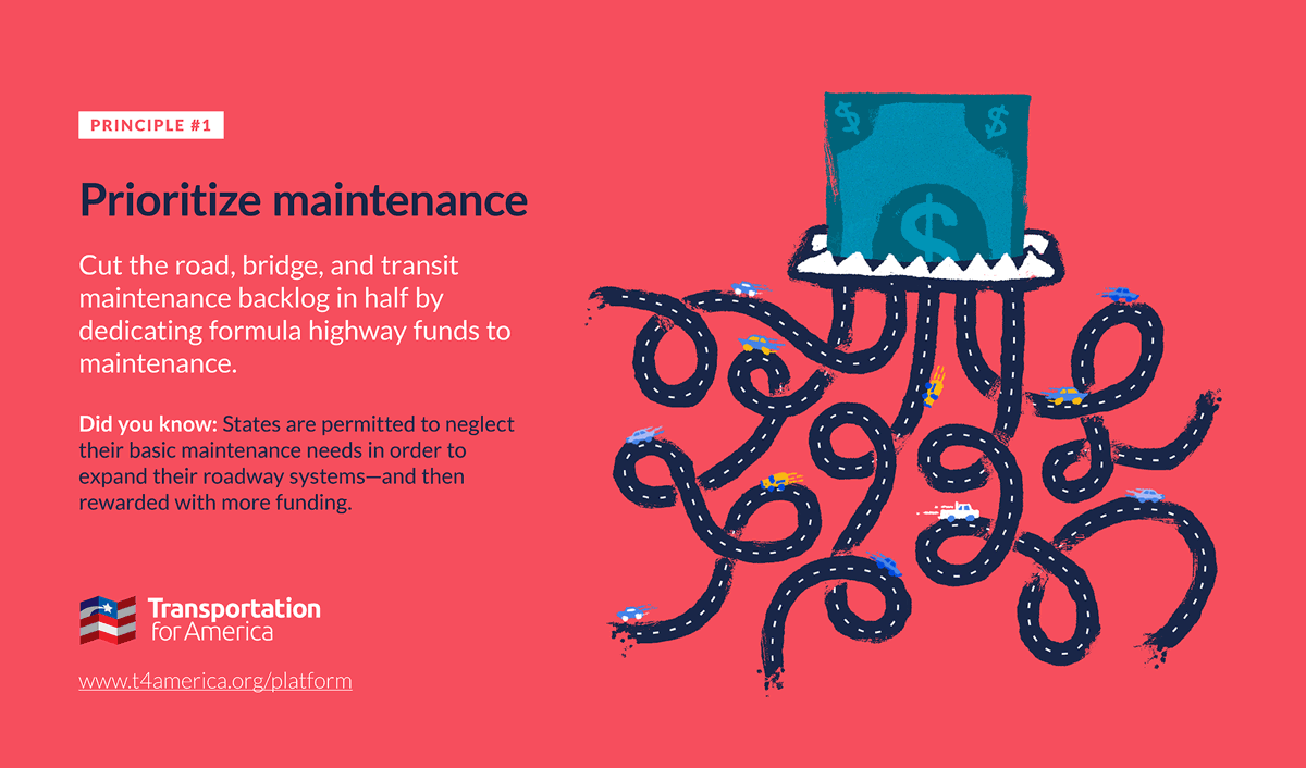
It’s past time to elevate the national conversation about infrastructure beyond just the price tag.
Learn more about our platformLatest From The Blog


Progress for passenger rail in the South and…
Apr 10th, 2024


Building back better: Reflections on the state of…
Apr 9th, 2024
FTA helps deliver more buses for less
Apr 2nd, 2024

I cannot find the zoom link, I registered…
Jan 6th, 2024

A rare look behind the curtain of Transportation…
Jul 28th, 2023

In what Harrison Ford said was his most…
Jul 25th, 2023

Good example, walking to the local taco place…
Jul 24th, 2023